🏞️real photo
NASA / Wikimedia
NASA / Wikimedia
KS2 · Rivers
The River Nile
The world's longest river, source to sea.
Coming soon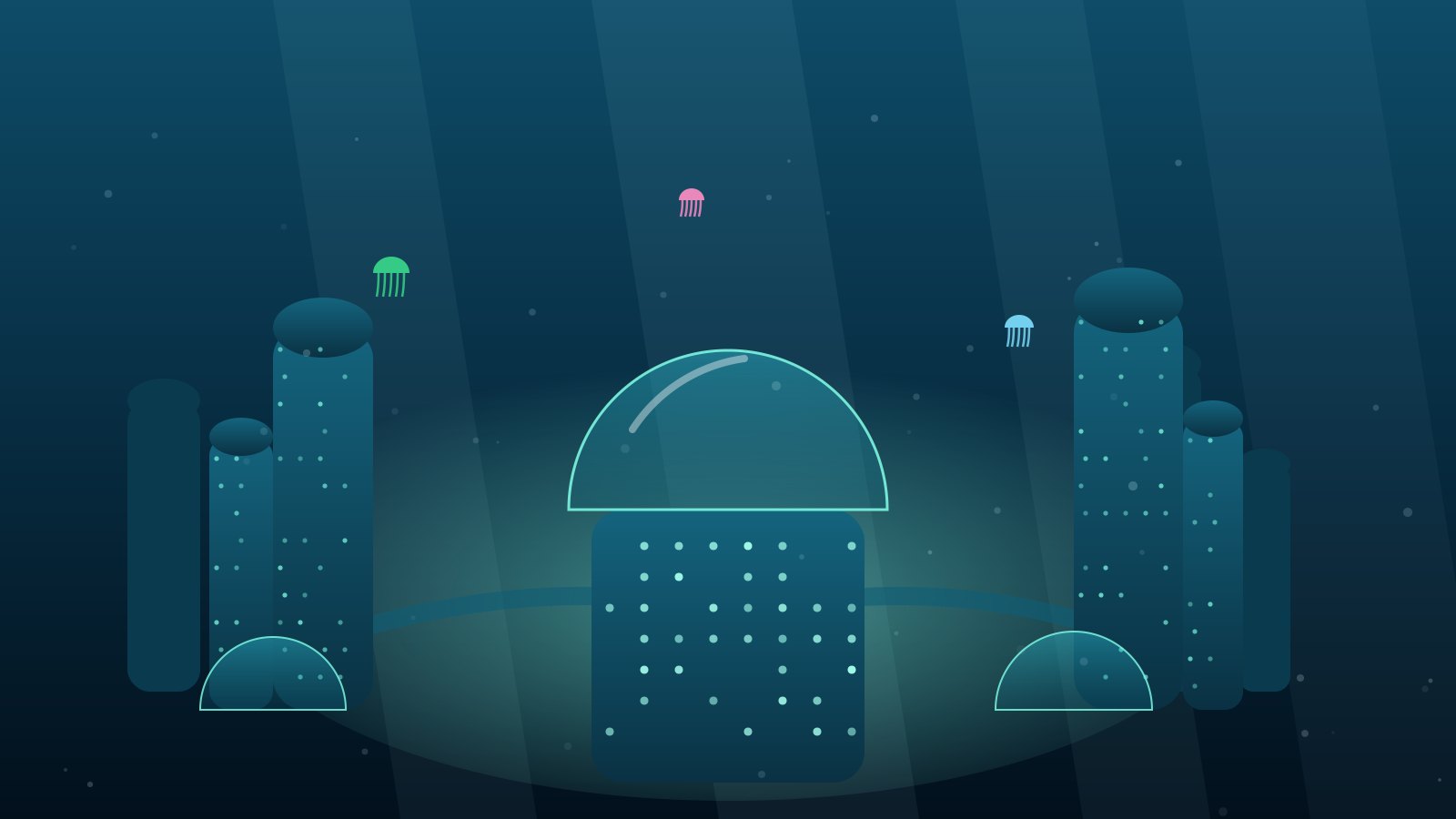
From Coralis, Loci flies to every corner of the real world, charting rivers, mountains and cities. The hull camera feeds the Viewport so you fly over them too.
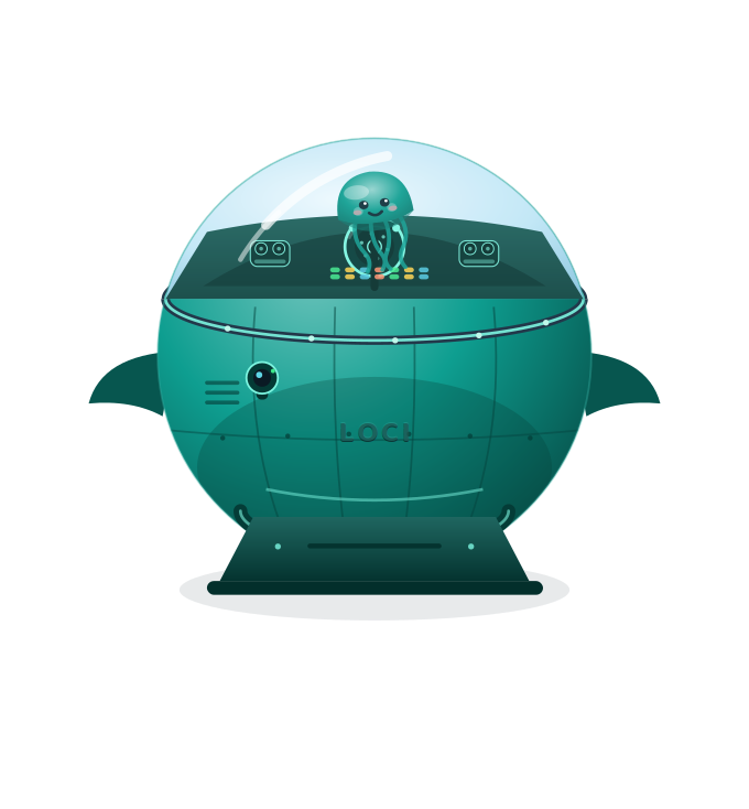
Every sidekick has the same two pieces of Coralis engineering, tuned to them and built in the Lab by Albert, Debuggy and Nala.
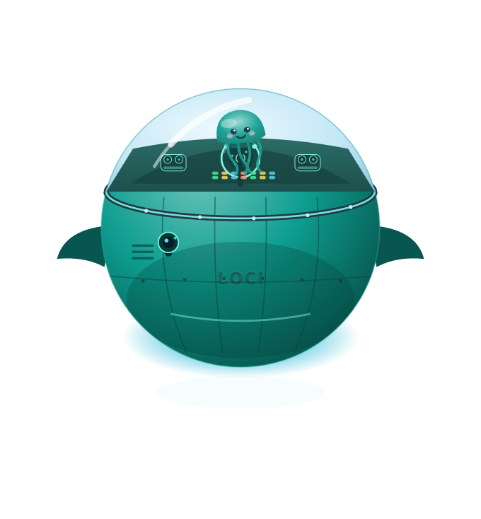
A sea, land, flight and space craft in Loci's colours, call sign LOCI. Loci floats in the water-filled cockpit; a hull camera on a gimbal feeds the Viewport.
Tuned to places, the Viewport is Loci's windscreen and a real-world map when she shows you somewhere.
Real places from the primary geography curriculum, live on the Viewport.
The world's longest river, source to sea.
Coming soonSoar over the highest peaks.
Coming soonGlide above the canopy layers.
Coming soonChart the ice caps, north and south.
Coming soonLand in capitals and see how people live.
Coming soonTrace the coastline back to Coralis.
Coming soonBetween adventures Loci is home in Coralis, the advanced city on the seabed where the whole Pod lives. Each sidekick has their own base there, and they share the Lab where the Bubblecraft and Viewports are built. Home never changes; the destinations always do.